
The Petrovaradin Fortress

Suburb (Inner City)
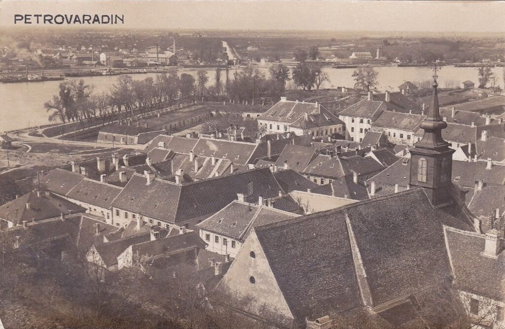
The Petrovaradin Fortress, an exceptional achievement of 18th-century fortification architecture, is one of the most famous, largest and best-preserved artillery bastion fortifications in this part of Europe. It covers the area of the northern slopes of Fruška Gora, on the right bank of the Danube. With the highest elevation of 133 m above sea level, it occupies a dominant position over the southeastern part of the Pannonian Plain.
It covers an area of 105 ha, with a total length of the outer line of defense of 5500 m and a complex anti-mine system of underground military galleries.

The history of Petrovaradin as the oldest settlement on the territory of the city for which there are historical sources, as well as of Novi Sad itself, is inextricably linked to the fate of the fortifications that were built, demolished and rebuilt on the solid ground of the Petrovaradin rock. Established primarily as defensive strongholds, they gained importance in the periods when they assumed the role of border fortifications.

The construction of the complex baroque fortification of the Petrovaradin fortress (“Fastung Peterwardein”), in the areas devastated by war conflicts, marked the final break with the medieval and Ottoman heritage and opened the way for the future development of the entire region.


Podgraje (Inner City) is located at the very foot of the Petovaradina rock, within the ramparts of the bastion route of the Lower Fortress, and is an integral part of its military-civilian complex, which also housed the command headquarters of the Petrovaradin Fortress.

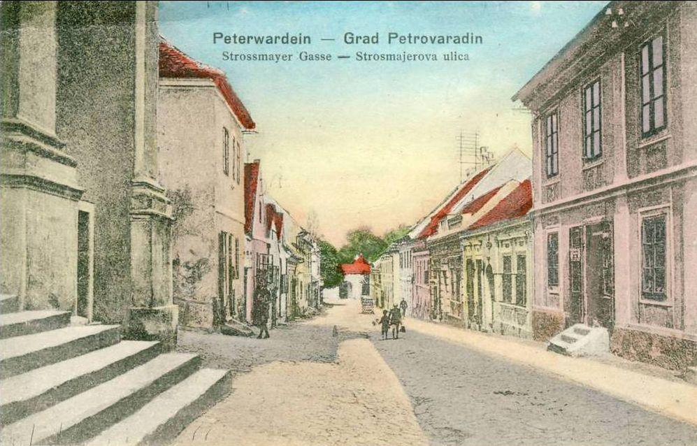
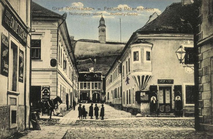
It is characterized by a compact urban structure shaped into blocks of an orthogonal street grid, the backbone of which is the main, Beogradska Street (Glavna or Haupt Gasse), the primary communication route, which today, as in the past, leads to the Petrovaradin Fortress through the former Western, Danube or Water Gate and connects the eastern, Belgrade Gate with the immediate surroundings. Parallel to it, on the south side, Strossmeierova Street (Crkvena, i.e. Kirchen Gasse) is laid out, from which the main routes lead to the Upper Fortress: the cart road – Rampa road, and the pedestrian – staircase road.

On the other north side of the main street is Ulica prote Mihaldžića (formerly Promenadna), in fact an area with two extensions in the form of a square whose characteristic regulation is shaped by the buildings of the Military Hospital complex (the Fortress Commander’s Building, the Franciscan Monastery and the Great Barracks).

These three directions connect the two perpendicularly placed shorter streets of Lisinski and Nazorova, as well as the once unique area of Vladika Nikolaj Square (Parade Square), in front of the former Danube or Water Gate.

In the urban structure of Podgrađe, military, civil and sacred objects built in all phases of the construction of the fortress have been preserved.
On the stretch of the main street, as well as around the perimeter of the square, all the most important buildings of the military and civil administration, as well as the most representative residential houses of high-ranking officers and clerks of the fortress, mostly built during the 18th century, in the Baroque style, are concentrated.
Inside the walls of the Lower Fortress, in addition to the clearly defined urban structure of Podgrađe, there are specific objects for military purposes, powder rooms, barracks magazines, etc. located around the perimeter (Milutin Jović, Olivera, Podgrađe Petrovaradina, “Materials for the Study of Cultural Monuments of Vojvodina” no. HBI, Novi Sad , pp. 30-37; Babić Slobodanka, Arhitektura Podgrađa, Dans, no. 44, Novi Sad, pp. 10-11)


The realisation of this site was supported by the Administration for Culture of the City of Novi Sad

The sources and materials of the Institute for the Protection of Cultural Monuments of the City of Novi Sad were used for the realization of this website
The Old Core of Novi Sad was declared a cultural asset, by the decision on establishing it as a spatial cultural-historical unit – 05 no. 633-151/2008 of January 17, 2008, “Sl. gazette of the Republic of Serbia” no. 07/2008.


